Takhamalt Airport
| Kaupunki: | Illizi |
| Maa: | Algeria  |
| IATA-koodi: | VVZ |
| ICAO-koodi: | DAAP |
| Koordinaatit: | 26°43′24″N, 8°37′21″E |
| Kiitotiet: |
Suunta: 09/27, Pituus: 3000 x 45 m, korkeus: 538 m |
Sijainti karttalla
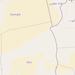

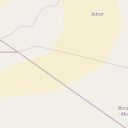


Leaflet | © OpenStreetMap contributors
| Kaupunki: | Illizi |
| Maa: | Algeria |
| IATA-koodi: | VVZ |
| ICAO-koodi: | DAAP |
| Koordinaatit: | 26°43′24″N, 8°37′21″E |
| Kiitotiet: |
Suunta: 09/27, Pituus: 3000 x 45 m, korkeus: 538 m |