Tan Son Nhat International Airport
Kaupunki: | Ho Chi Minh City |
Maa: | Vietnam ![]() |
IATA-koodi: | SGN |
ICAO-koodi: | VVTS |
Koordinaatit: | 10°49′7″N, 106°39′7″E |
Kiitotiet: |
Suunta: 07L/25R, Pituus: 3048 x 45 m, korkeus: 7 m Suunta: 07R/25L, Pituus: 3800 x 45 m, korkeus: 7 m |
Sijainti karttalla
![](https://tile.openstreetmap.org/6/50/29.png)
![](https://tile.openstreetmap.org/6/51/29.png)
![](https://tile.openstreetmap.org/6/50/30.png)
![](https://tile.openstreetmap.org/6/51/30.png)
![](https://tile.openstreetmap.org/6/49/29.png)
![](https://tile.openstreetmap.org/6/52/29.png)
![](https://tile.openstreetmap.org/6/49/30.png)
![](https://tile.openstreetmap.org/6/52/30.png)
![](https://tile.openstreetmap.org/6/48/29.png)
![](https://tile.openstreetmap.org/6/53/29.png)
![](https://tile.openstreetmap.org/6/48/30.png)
![](https://tile.openstreetmap.org/6/53/30.png)
![](marker-shadow.png)
![](marker-icon.png)
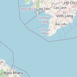
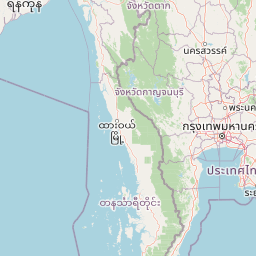
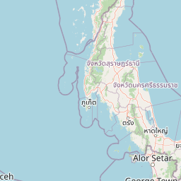
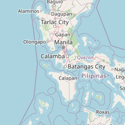
Leaflet | © OpenStreetMap contributors