Pohnpei International Airport
Kaupunki: | Pohnpei Island |
Maa: | Mikronesian liittovaltio ![]() |
IATA-koodi: | PNI |
ICAO-koodi: | PTPN |
Koordinaatit: | 6°59′6″N, 158°12′32″E |
Kiitotiet: |
Suunta: 09/27, Pituus: 1829 x 46 m, korkeus: 2 m |
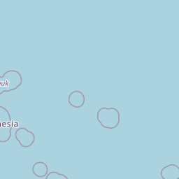
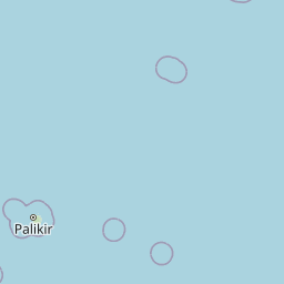
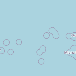
Sijainti karttalla
![](https://tile.openstreetmap.org/6/59/30.png)
![](https://tile.openstreetmap.org/6/60/30.png)
![](https://tile.openstreetmap.org/6/58/30.png)
![](https://tile.openstreetmap.org/6/61/30.png)
![](https://tile.openstreetmap.org/6/57/30.png)
![](https://tile.openstreetmap.org/6/62/30.png)
![](marker-shadow.png)
![](marker-icon.png)
Leaflet | © OpenStreetMap contributors