Nagoya Airfield
| Kaupunki: | Nagoya |
| Maa: | Japani  |
| IATA-koodi: | NKM |
| ICAO-koodi: | RJNA |
| Koordinaatit: | 35°15′18″N, 136°55′26″E |
| Kiitotiet: |
Suunta: 16/34, Pituus: 2740 x 46 m, korkeus: 16 m |
Sijainti karttalla
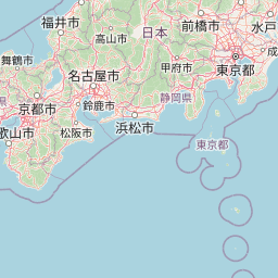


Leaflet | © OpenStreetMap contributors
| Kaupunki: | Nagoya |
| Maa: | Japani |
| IATA-koodi: | NKM |
| ICAO-koodi: | RJNA |
| Koordinaatit: | 35°15′18″N, 136°55′26″E |
| Kiitotiet: |
Suunta: 16/34, Pituus: 2740 x 46 m, korkeus: 16 m |