Goiânia International Airport
Kaupunki: | Goiânia |
Maa: | Brasilia ![]() |
IATA-koodi: | GYN |
ICAO-koodi: | SBGO |
Koordinaatit: | 16°37′55″S, 49°13′14″W |
Kiitotiet: |
Suunta: 14/32, Pituus: 2500 x 45 m, korkeus: 744 m |
Sijainti karttalla
![](https://tile.openstreetmap.org/6/22/34.png)
![](https://tile.openstreetmap.org/6/23/34.png)
![](https://tile.openstreetmap.org/6/22/35.png)
![](https://tile.openstreetmap.org/6/23/35.png)
![](https://tile.openstreetmap.org/6/21/34.png)
![](https://tile.openstreetmap.org/6/24/34.png)
![](https://tile.openstreetmap.org/6/21/35.png)
![](https://tile.openstreetmap.org/6/24/35.png)
![](https://tile.openstreetmap.org/6/20/34.png)
![](https://tile.openstreetmap.org/6/25/34.png)
![](https://tile.openstreetmap.org/6/20/35.png)
![](https://tile.openstreetmap.org/6/25/35.png)
![](marker-shadow.png)
![](marker-icon.png)
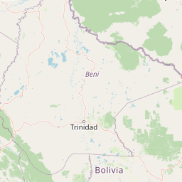
Leaflet | © OpenStreetMap contributors