Dalaman Airport
| Kaupunki: | Dalaman |
| Maa: | Turkki  |
| IATA-koodi: | DLM |
| ICAO-koodi: | LTBS |
| Koordinaatit: | 36°42′47″N, 28°47′32″E |
| Kiitotiet: |
Suunta: 01/19, Pituus: 3000 x 45 m, korkeus: 3 m |
Sijainti karttalla
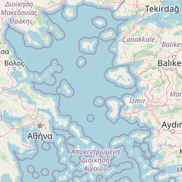

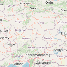

Leaflet | © OpenStreetMap contributors
| Kaupunki: | Dalaman |
| Maa: | Turkki |
| IATA-koodi: | DLM |
| ICAO-koodi: | LTBS |
| Koordinaatit: | 36°42′47″N, 28°47′32″E |
| Kiitotiet: |
Suunta: 01/19, Pituus: 3000 x 45 m, korkeus: 3 m |