Shahjalal International Airport
Kaupunki: | Dhaka |
Maa: | Bangladesh ![]() |
IATA-koodi: | DAC |
ICAO-koodi: | VGZR |
Koordinaatit: | 23°50′35″N, 90°23′52″E |
Kiitotiet: |
Suunta: 14/32, Pituus: 3505 x 46 m, korkeus: 8 m |
Sijainti karttalla
![](https://tile.openstreetmap.org/6/47/27.png)
![](https://tile.openstreetmap.org/6/48/27.png)
![](https://tile.openstreetmap.org/6/46/27.png)
![](https://tile.openstreetmap.org/6/49/27.png)
![](https://tile.openstreetmap.org/6/45/27.png)
![](https://tile.openstreetmap.org/6/50/27.png)
![](marker-shadow.png)
![](marker-icon.png)
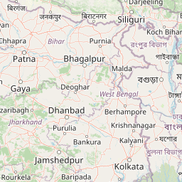
Leaflet | © OpenStreetMap contributors