Ciudad Obregón International Airport
| Kaupunki: | Ciudad Obregón |
| Maa: | Meksiko  |
| IATA-koodi: | CEN |
| ICAO-koodi: | MMCN |
| Koordinaatit: | 27°23′33″N, 109°49′58″W |
| Kiitotiet: |
Suunta: 13/31, Pituus: 2300 x 45 m, korkeus: 62 m |
Sijainti karttalla
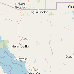

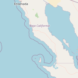


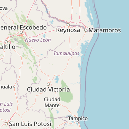

Leaflet | © OpenStreetMap contributors